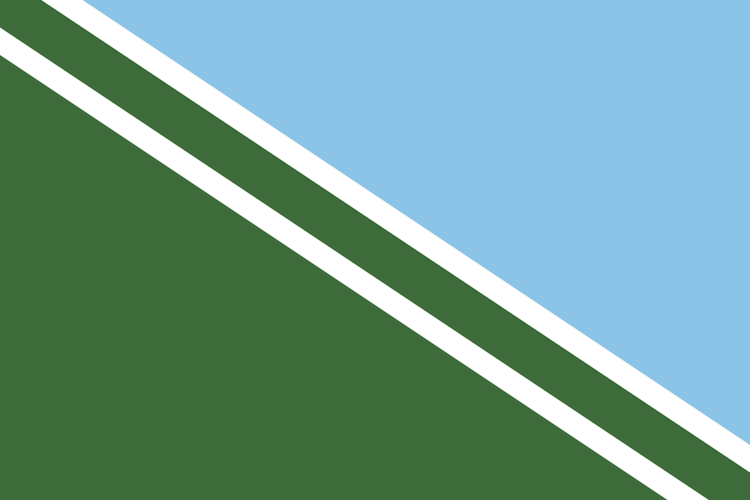
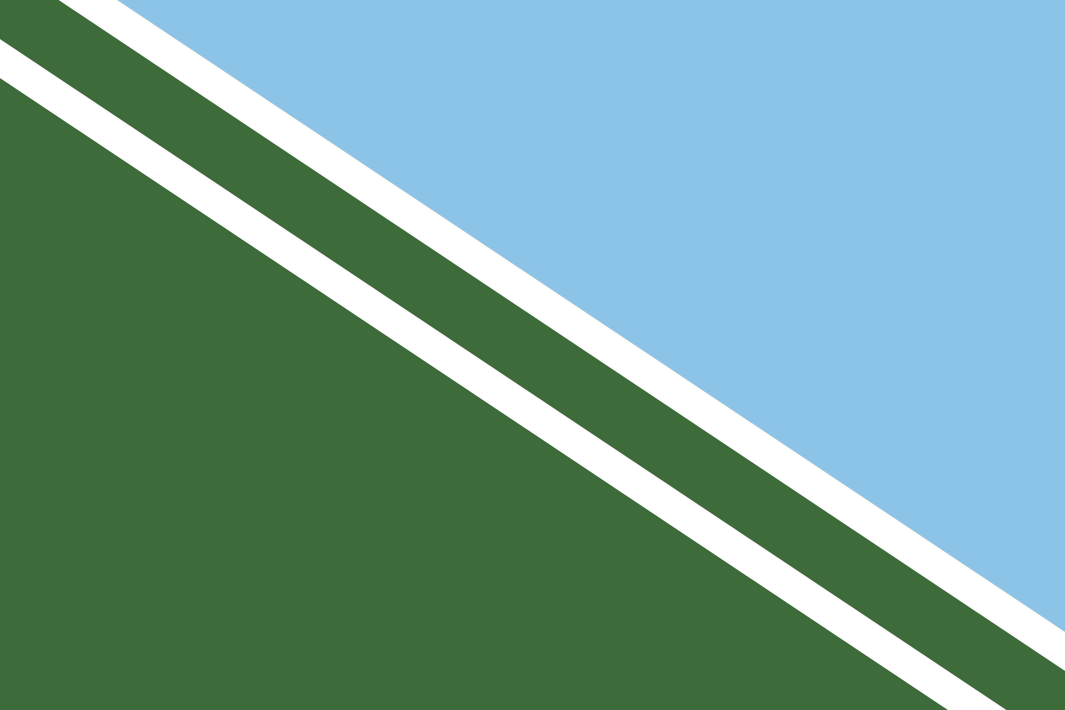
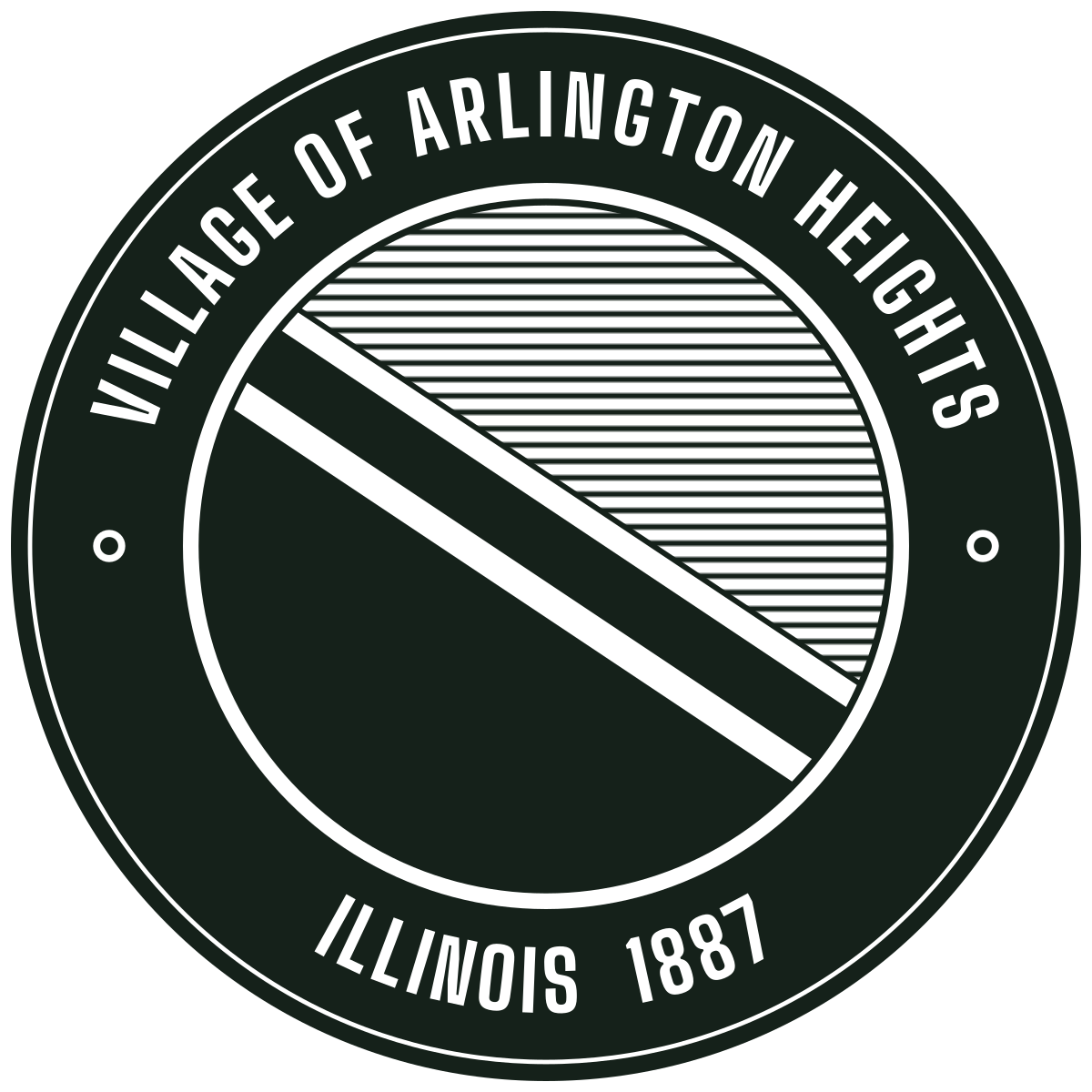
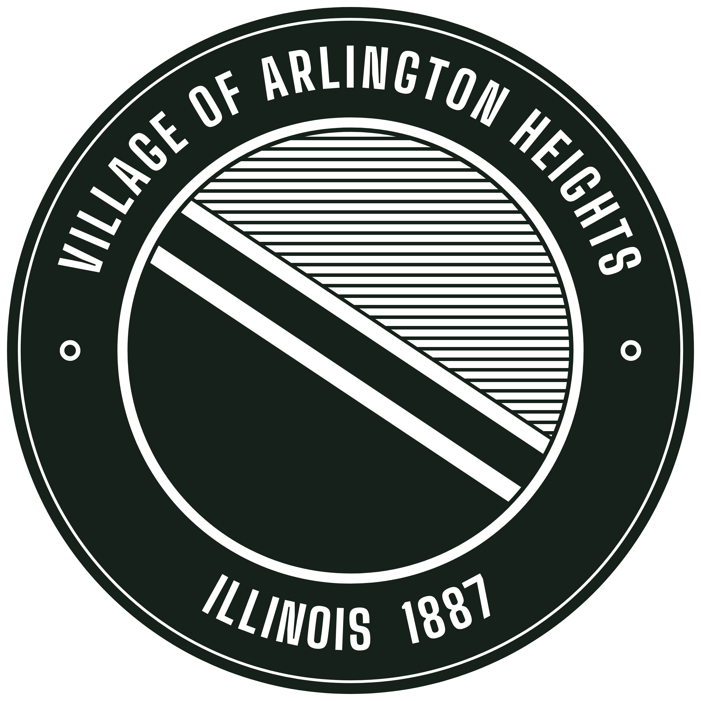
The diagonal runs the way the track runs on a map, coming in from Chicago at the lower right and heading off to the upper left, toward Palatine and everything past it. Anybody who has taken the train downtown from here knows which way that is without having to think about it.
The color changes at the upper rail, which leaves green in the gap. That gap is the right-of-way, the strip of ground the line was laid on in 1854, when all of this was open prairie. It keeps the track on the ground, too. An earlier draft split the colors down the middle of the rails, and the flag looked torn in half.
The green is the prairie, and the farms that loaded the first trains. The blue is the sky over it. It's also, on purpose, the blue of the Chicago flag, since this town has always been tied to the city at the other end of the line. Any print shop can match both.
The rails are two plain lines. I left off the ties, and there's no locomotive. Two parallel lines still read as track on a lapel pin. Add much more and it starts reading as a railroad crossing sign.